Image
Recent studies of ice sheet melt show that extreme melt events contribute to sea levels rising and pose significant risks to coastal communities. It is essential to understand how ice sheets melt and to quantify melt events occurring on large ice sheets such as Greenland and Antarctica.
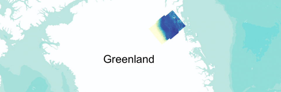
High resolution Synthetic Aperture Radar (SAR) backscatter from the Sentinel satellite were used in a pilot study to map changes in melting over time in the north-eastern region of Greenland. For more detailed information, please find Data Science of the Natural Environment blog from Qingying Shu.