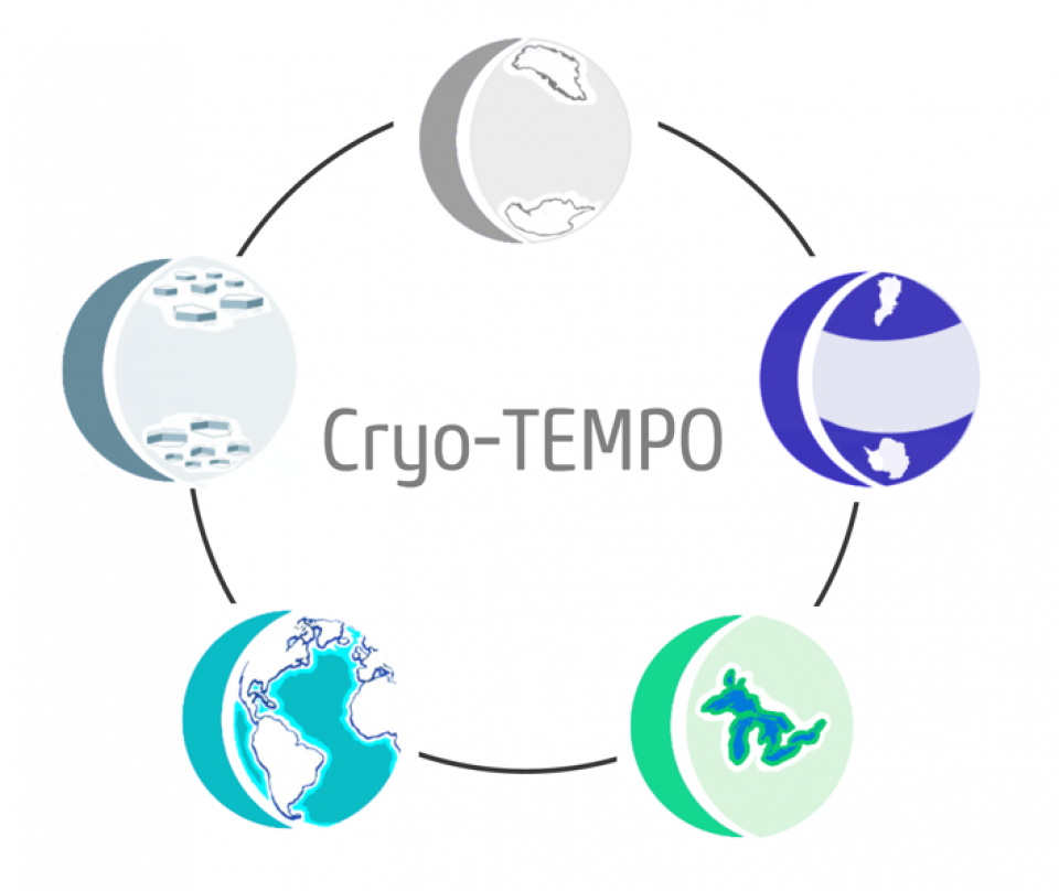
CEEDS researchers are leading a new £1.5 Million study that will deliver innovative satellite datasets to the wider scientific community. The 3-year project, which is funded by the European Space Agency and brings together 13 institutions and SME’s from across Europe, aims to usher in a new era of easy-to-use, bespoke datasets, that target non-specialist end users. The driving philosophy of the project is the ambition to open up these formerly specialist datasets to a broader user community, thereby increasing their reach and impact upon environmental and climate science.
The Cryo-TEMPO (CryoSat-2 Thematic Products) project brings together satellite experts, software and systems specialists, and key members of the environmental science community, to design, develop and operate agile satellite processing workflows. Unlike standard satellite products, the Cryo-TEMPO processing chains will be optimised according to 5 separate thematic areas – Ice Sheets, Sea Ice, the Polar Ocean, the Coastal Ocean and Inland Water – allowing bespoke algorithms to be rapidly developed and implemented throughout the course of the project. Cryo-TEMPO will focus on the unique measurements made by the CryoSat-2 satellite – ESA’s first Earth Explorer mission dedicated to the polar regions, which has now delivered more than a decade’s worth of measurements of Earth’s surface. The first data release of Cryo-TEMPO products is expected towards the end of 2021.
For more information about the project, please contact Cryo-TEMPO PI, Mal McMillan (m.mcmillan@lancaster.ac.uk).
